An AI Machine Learning Beacon-Based Indoor Location System

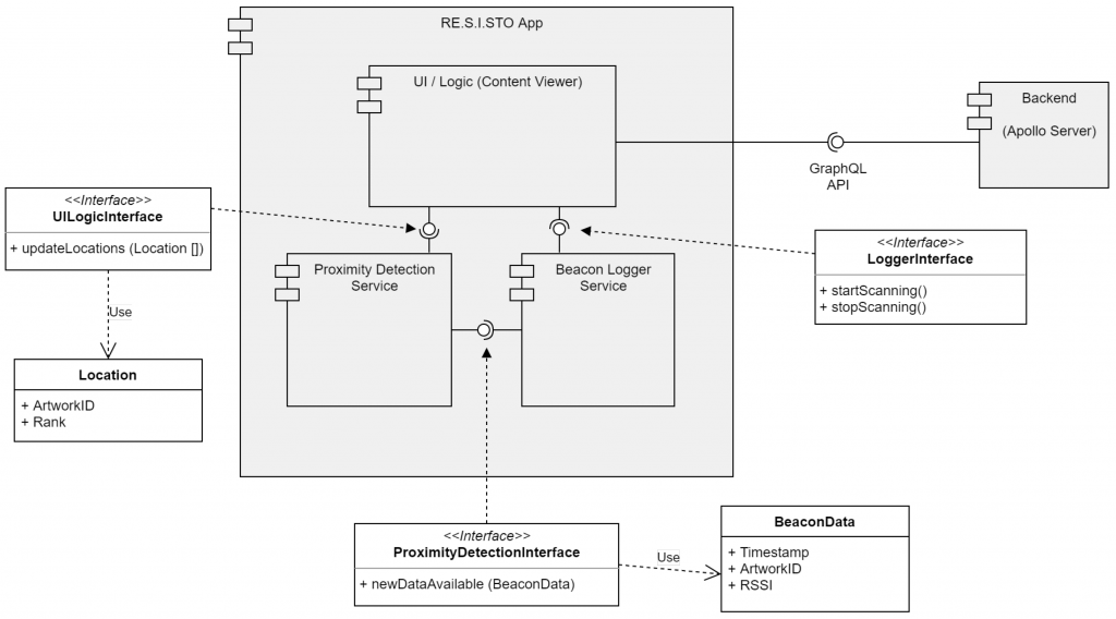
There’s a recent paper by researchers at DeustoTech Institute of Technology, Bilbao, Spain and Department of Engineering for Innovation, University of Salento, Lecce, Italy on Behavior Modeling for a Beacon-Based Indoor Location System.

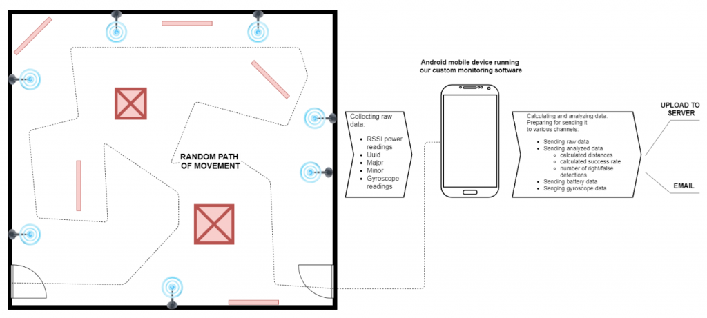
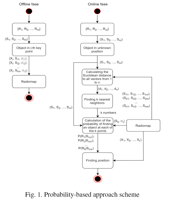
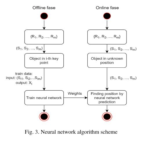
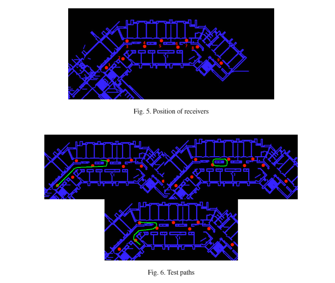
The research compares two different approaches to track a person indoors using Bluetooth LE technology with a smartphone and a smartwatch used as monitoring devices.

The beacons were iB005N supplied by us and it’s the first time we have been referenced in a research paper.

The research is novel in that it uses AI machine learning to attempt location prediction.

The researchers were able to predict the user’s next location with 67% accuracy.

Location prediction has some interesting and useful applications. For example, you might stop a vulnerable person going outside a defined area or in an industrial setting stop a worker going into a dangerous area.

A Comparison of Beacon Locating Methods in a Retail Store

There’s a recent paper by researchers at the Department of Management Science and Technology, Athens University of Economics and Business on An Ensemble Filter for Indoor Positioning in a Retail Store Using Bluetooth Low Energy Beacons.

The paper starts with an overview of indoor positioning techniques including trilateration, fingerprinting, dead reckoning and AI machine learning. It also provides a synposis of different technologies such as RFID, WiFi and Bluetooth.

The paper explains that while fingerprinting is widely used, it faces limitations when used in dynamically changing environments. Fingerprinting requires ongoing maintenance and updating of the reference fingerprinting map that’s manually intensive and time-consuming. Fingerprinting also requires a large number of beacon reference points to perform accurate locating.

The researchers looked into positioning within a two floor (grocery) retail store. Retail stores are of of the more challenging environments as there are shoppers moving about that can affect indoor localisation

Several indoor positioning techniques were considered including fingerprinting and trilateration. The researchers implemented fingerprinting and compared it to seven established classifiers. The random forest algorithm worked the best and inspired the authors to build an ensemble classification filter with lower absolute mean and root mean squared errors.

Improving Indoor Locating Using Kalman Filtering and a Particle Filter

There’s recent research from Korea on Particle Filtering-Based Indoor Positioning System for Beacon Tag Tracking. The paper looks into how to improve positioning accuracy, reduce system complexity and reduce deployment cost through the use of a Particle Filter-based Indoor Positioning System (PFIPS).

A Kalman Filter is used to preprocess collected Received Signal Strength Indication (RSSI) data followed by a Particle Filter (PF) to approximate the location of a tag which improves the location certainties.

Simulations and experiments showed the system outperformed the legacy indoor positioning systems in terms of location accuracy by 24.1% and achieved median accuracy of 1.16 m.

Read Using Beacons, iBeacons for Real-time Locating Systems (RTLS)

Beacon Placement Optimisation for Indoor Positioning

There’s recent research into Sensor placement optimization for critical-grid coverage problem of indoor positioning (PDF). The paper investigates how to reduce deployment cost by placing more sensors in areas that require higher accuracy rather than using a uniform deployment scheme.

Areas are differentiated as either being ‘critical’ or ‘common’. For example, in a railway station, critical areas are elevator entrances, boarding gates, toilets and the service centre. Critical and common areas have different positioning needs leading to different sensor deployment densities.

The paper examines the variation of RSSI with distance and develops a critical-grid coverage model. A NSGA-II algorithm is used to optimise the placement of iBeacon nodes.

The results showed that the new placement scheme obtained a lower error and a greater reduction of sensor deployment cost than the uniform deployment scheme. The proposed method reduced the cost of sensor deployment while ensuring the accuracy of indoor positioning for critical areas.

Positioning, Tracking and Flow Using Bluetooth Signals

There’s new research into Developing a Solution for Mobility and Distribution Analysis Based on Bluetooth and Artificial Intelligence.

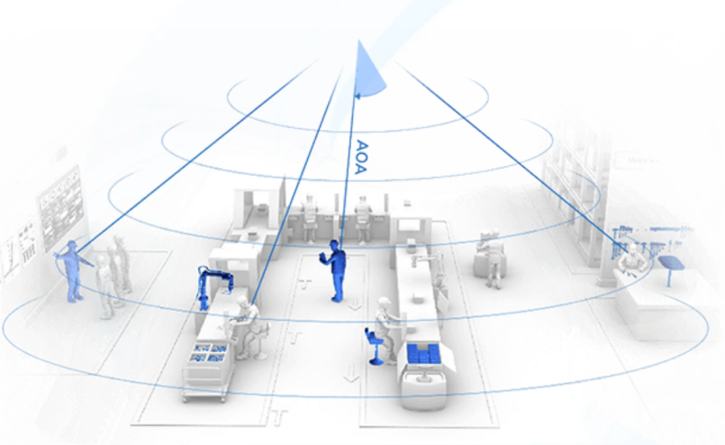
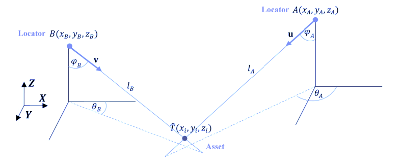
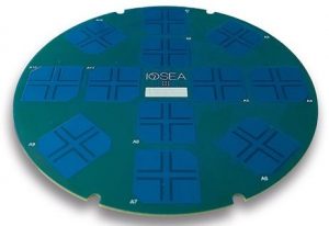
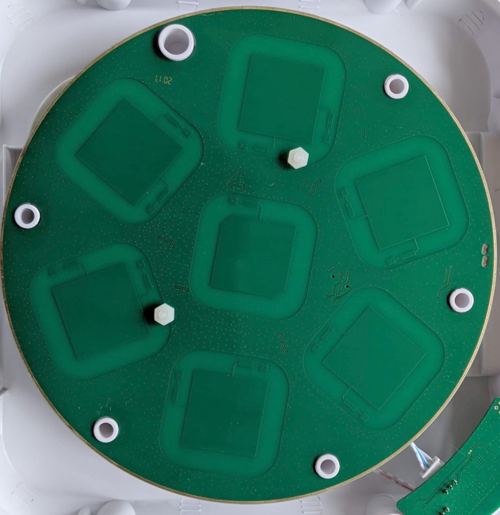
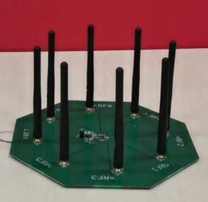
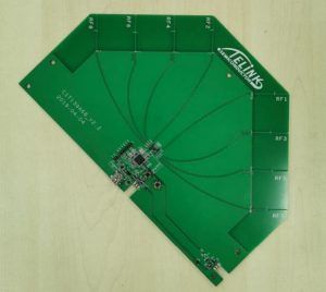
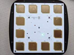
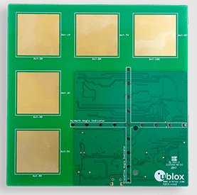
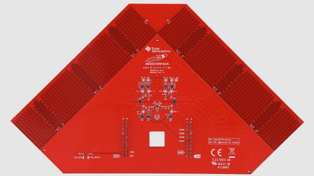
The paper describes an efficient solution for locating, tracking, analysing distribution and flow of people and/or vehicles. Filters and algorithms including artificial intelligence and angle of arrival (AoA) were employed.

Locating using Triangulation
Triangulation Using Angle of Arrival (AoA)

The resultant system provided for analysis of location, traffic flow and passenger movement along routes.

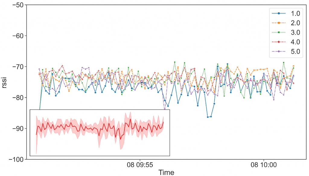
3D RSSI Variation with distance

The researchers found that accuracy was improved when multiple measuring stations were used. Improved positioning was achieved using geometry algorithms (Voronoi) and the k-mean cluster algorithms. Artificial intelligence allowed for deeper analysis of the data for more accurate positioning, trajectory estimation and density evaluation.

The Power of the AirTag

Apple announced AirTag this week. Many commentators are asking what’s different or better than Tile and other Bluetooth trackers. Some are even asking why Apple is such an innovative company.

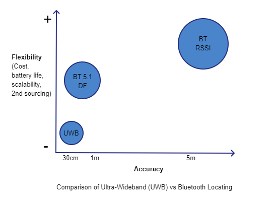
While the accuracy of finding is better for the relatively few Apple iPhones that have the Ultra Wideband (UWB) U1 chip, this isn’t likely to be the main advantage and will in any case be lost on most potential buyers. Similarly, Apple’s claim that it’s private and secure is unlikely to be important or seem significant in most scenarios.

Instead, the power of the AirTag will not come from the technical aspects of the physical AirTag but from being part of the Apple ecosystem. The problem with Tile and other trackers is that the range is only local, typically about 50m. When tags are lost away from the vicinity the system relies on other users to detect your tag. This previously hasn’t worked because there haven’t been enough users. The power of the AirTag will be the reach of the Apple device network that no other tag manufacturer will be able to match.

This isn’t to say AirTags will replace iBeacon and Eddystone beacons. AirTags are only for tracking and are more for finding personal things rather than say assets in a warehouse or factory. AirTags only identify and don’t sense like sensor beacons. While they can be seen by Bluetooth gateways, the privacy and security features will thwart identification and use in real time locating systems. AirTags are only a very small, proprietary and closed part of the tracking and sensing ecosystem.

iBeacon Deployment Performance Evaluation

There’s recent work by researchers at Hong Kong Polytechnic University on Performance Evaluation of iBeacon Deployment for Location-Based Services in Physical Learning Spaces.

The paper examines signal availability, signal stability and position accuracy under different environmental conditions. The aim was to provide recommendations for iBeacon deployment location, density, transmission interval and fingerprint space interval. While the research considered beacons in teaching and learning environments, the conclusions are also applicable to other situations.

The paper describes positioning using the trilateration and fingerprinting methods. Experiments were performed in a 3.44m to 1.80m classroom to determine optimum beacon placement density.

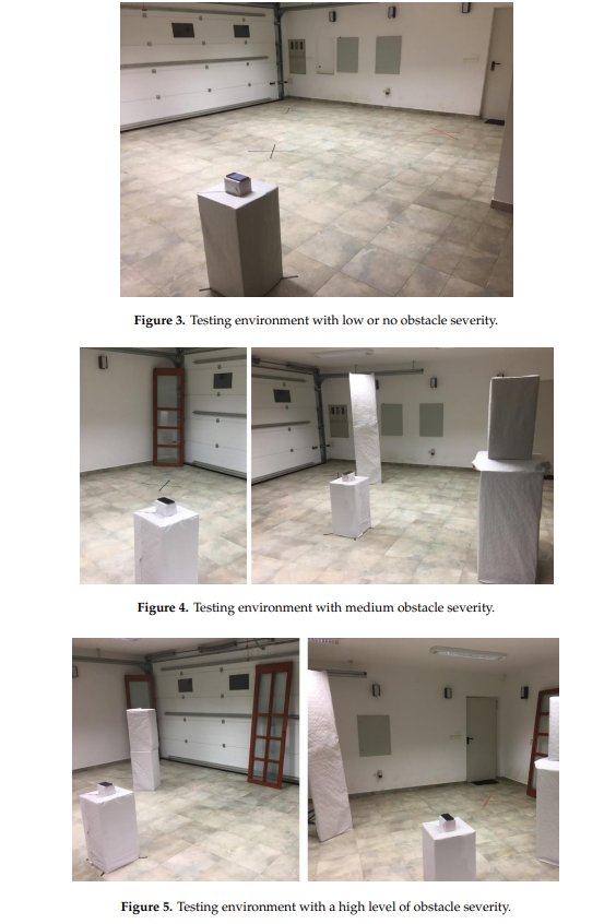
The main conclusion was that greatest signal attenuation and variation was caused by pedestrian traffic blocking the line of sight between iBeacon and receiver. High temperature and strong winds also caused minor discrepancies to the signals. Trees and nearby vehicle traffic didn’t have any negative effects on the signals.

Deployments should consider the line of sight as the first priority. For the above mentioned room size, positional accuracy increased when the number of beacons was increased from three to eight. Using more beacons didn’t improve accuracy. An average spacing of 4.4m is recommended for iBeacon deployment. A settings of 417ms transmission interval is advised as a compromise between battery life and positional accuracy.

Read Determining Location Using Bluetooth Beacons

Bluetooth Beacon Based Student Registration System

The Journal of Physics has new research into a Student Attendance Manager Using Beacons and Deep Learning (pdf).

The system automatically registers attendance without disturbing the class. It uses an iBeacon in each classroom to determine location. It also uses a camera and deep learning analysis to prevent students cheating the system by having someone else attend. The researchers say the system is better than biometric scanning and RFID that requires manual reading one by one.

The solution uses iBeacons but it’s the Bluetooth MAC address that’s used for room identification. The scanner and camera interface uses a Raspberry Pi that sends data to a server.

Read about Beacons in Education

Improving iBeacon Location Accuracy

There are lots of ways of processing Bluetooth signal strength (RSSI) to determine location. Being based on radio, RSSI suffers from fluctuations, over time, even when the sender and receiver don’t move.

The College of Surveying and GeoInformatics, Tongji University, Shanghai , China has new research on iBeacon-based method by integrating a trilateration algorithm with a specific fingerprinting method to resist RSS fluctuations.

Trilateration and fingerprinting are common techniques to improve location accuracy based on RSSI. The paper improves on these by using analysis based on Kalman filtering of segments delimited by turns. This is used to derive locations based on pedestrian dead reckoning.

The researchers achieved a positioning accuracy of 2.75m.

Read about Determining Location Using Bluetooth Beacons

Read about Using Beacons, iBeacons for Real-time Locating Systems (RTLS)

Sensor Placement Optimisation Research

There’s interesting new research into Sensor Placement Optimization for Critical-grid Coverage Problem of Indoor Positioning (PDF).

This research looked into optimising the location of sensors as opposed to the more usual methods of filtering signals to improve accuracy. The aim was to reduce deployment costs by deploying more sensors in critical areas that were identified as needing greater positioning accuracy.

The critical-grid coverage scheme and NSGA-II algorithm were used to optimise the placement of iBeacon nodes in underground parking lots.

Read about Using Beacons, iBeacons for Real-time Locating Systems (RTLS)